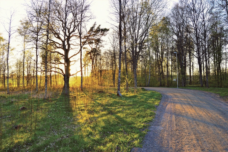
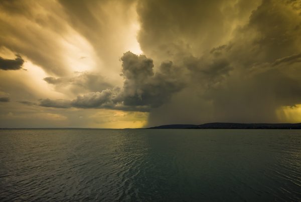
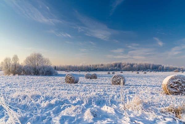
The first half of April was unseasonably hot and dry. Burlington, Vermont which has weather statistics going back to 1885, reported that the average temperature by mid month was the third warmest ever with 1945 being the warmest. This above normal temperature decreased to tenth place by months end with 1945 still holding the all-time record. Interestingly, the year 1886 became 8th place. Ormstown area had an average April temperature which was the eighth warmest in 56 years with 8.1 degrees compared to: 2020 @ 5.0 / ten year average @ 6.5 / fifty year average @ 6.1 / hottest 2010 @ 9.1 / coldest 1971 @ 1.8.
Precipitation amounted to 74 mms. of rain and 9 cms. of snow which melted to an additional 11 mms. of water providing a total of 85 mms. or 3.3 inches for the month which is normal. All this moisture fell in the last 17 days of the month alleviating a potentially serious spring drought. By month end, the level of the Chateauguay River was at the top of the banks as surface runoff and underground drainage emptied the surplus water. Most early planted spring cereals have emerged providing nourishment for the hungry Canada geese. Some early planted grain corn is uncertain whether it would rather still be in the bag as the saturated soil cools down. Apple blossoms and tree leaves, which showed signs of an early spring, came to a screeching halt as the early April heat returned to more normal levels.
There are some weather observers that believe in natural long-term trends that climax every 89 years. These observes believe the dust bowl conditions of the “Dirty 30’s” in Canada and the USA, which peaked in 1936, was the last such year, making the year 2025 the next peak in the cycle. Cycles are a natural phenomenon that occur regardless of any influence by mankind. They are usually preceded by increased weather activity but return to more stable conditions once passed. Were the extreme swings in our April weather a precursor of the next peak in the cycle?
Peter Finlayson


